

Journal · Field notes
What are the lines drawn on bare land listing photos?
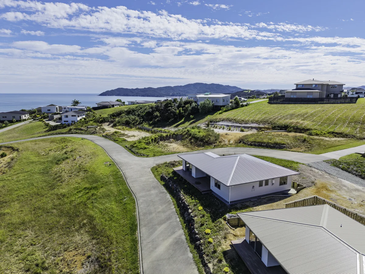
They're boundary lines, a rough outline of the section drawn over the drone photo so buyers can see where the land starts and stops. They're a guide only, not a survey, so every photo with lines carries a note saying that.
Saturday triple
Saturday the 5th was three shoots back to back:
- 11am, Reef View Road in Ahipara for Raine & Horne. Bare land with video, plus one AI scene
- 1:15pm, Te Ahu Street, Kaitaia, for Haze
- 2:15pm, Kitchener Street, Kaitaia, also Haze
There was only half an hour between the last two and nothing ran late. I had all three sets edited the same afternoon.
Same day at Pukenui
The Ray White agent brought her Harbour View Road job in Pukenui forward to Thursday. We shot it and delivered it the same day.
Boundary lines
Bare land doesn't make sense in a photo without lines. From the air one paddock looks the same as the next.
So for every bare land job we:
- Pull up the property's mapped boundary
- Draw the lines over the drone photo
- Check what we drew against the map, so the lines sit where the boundary actually is
- Add a plain note on the photo saying the lines are a guide only
- Rename the photos in order, ready for the listing
The note matters. Lines on a photo are never a survey, and buyers shouldn't read them as one.
Quick answers
Are boundary lines on listing photos accurate?
They're drawn from the property's mapped boundary and checked against it, but they're a guide only. Each photo says so on it. For exact boundaries buyers need the title and a survey.
Can you add boundary lines to bare land photos?
Yes, it's part of our bare land jobs. We draw the lines on the drone photos, add the guide-only note, and rename the set ready for the listing.